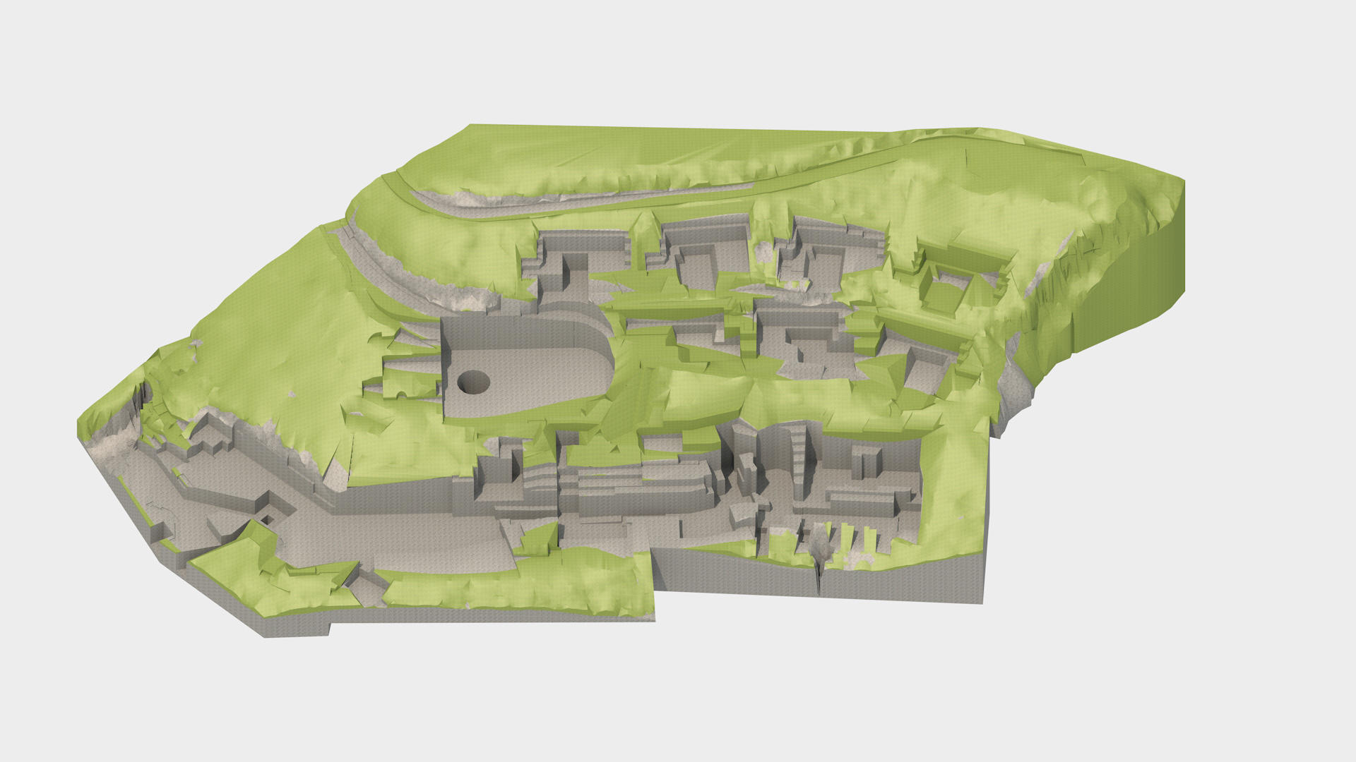
Building information modeling (BIM)
We apply BIM technology in geotechnical design, but also during geotechnical exploration and investigation, and through the model we present information about:
• field (photo documentation)
• geological features (layer orientation and heading, description and characteristics),
• geotechnical features
• exploration works (photo documentation of logs of wells, geophysical profiles with an interpreter, points of observation)
Through applying this technology, the quality of project documentation increases considerably through more detailed preparation, gets insight into potentially problematic situations, and other technical solutions.
Our projects are completely made in BIM technology, and we model all elements separately: shotcrete, rock bolts, drains, excavation, piles, jet grouting piles, reinforced concrete elements, etc.
