Logging measurements in boreholes
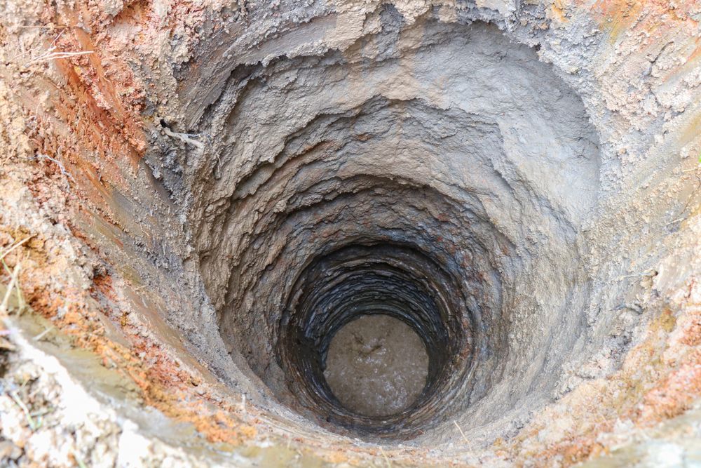
Geotechnical and hydrogeological investigations are carried out in order to determine the characteristics of the foundation soil and the water-bearing systems, which include logging measurements in boreholes.
Logging measurements are geophysical measurements in boreholes that describe the physical properties of the drilled soil and rock and they are connected to geological and petrological properties. Physical properties that are most commonly measured are electrical resistance, spontaneous potential, density, speed of propagation of seismic waves, natural radioactivity, temperature, caliper, inclination, etc.
Measurement procedure
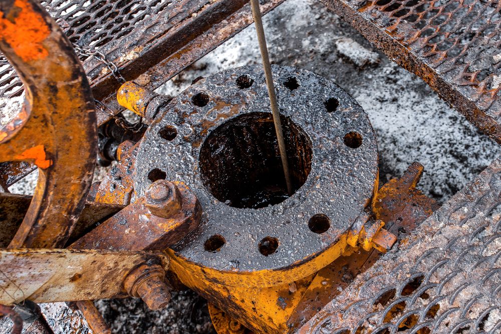
Logging measurements in boreholes are carried out using special probes that are lowered into the borehole. As they pass through the borehole, the probes record detailed data that is later processed and displayed as a logging profile.
The probes are lowered or raised at a constant speed using an electric motor. When measuring, it is necessary to monitor the progress of the probe, i.e., to ensure that it does not get stuck. Most logging measurements are conducted in unsealed boreholes, whereas temperature logging is carried out in sealed boreholes.
Use of logging measurements
The most commonly used logging measurements for geotechnical purposes are:
- density;
- speed of propagation of seismic waves;
- spontaneous potential;
- electrical resistance; and
- borehole recording.
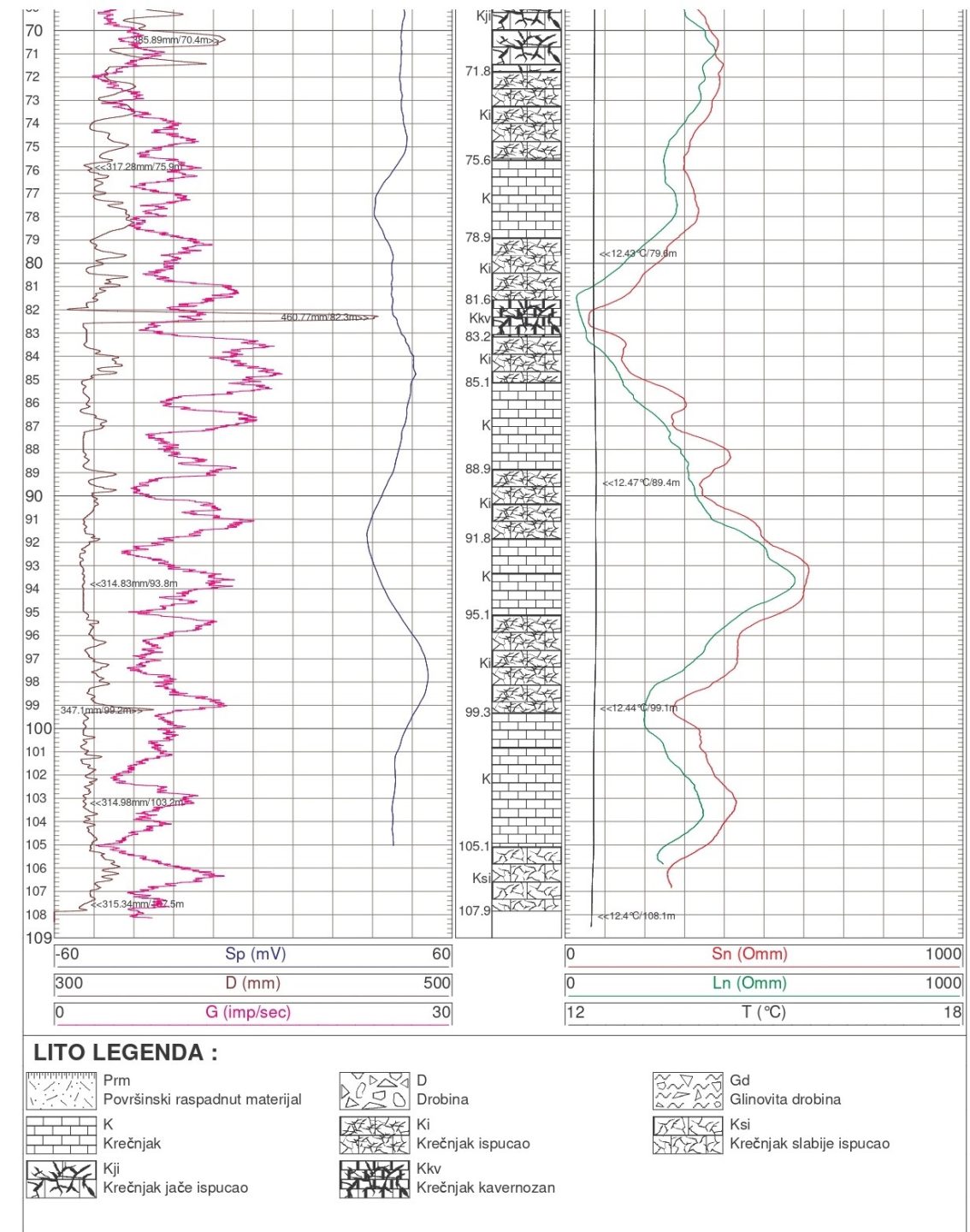
Logging measurements of the density and propagation speed of seismic waves give us insight into the physical-mechanical characteristics of the foundation soil. These measurements are especially important in karst terrains where vertical and lateral changes in physical-mechanical characteristics are frequent. In the karst area, logging measurements of spontaneous potential and electrical resistivity provide us with data on fractured zones within the rock mass and zones of greater groundwater inflow. During the geotechnical investigation and testing, it is very important to describe the zones of large groundwater inflow in detail in order to correctly choose the open pit protection method. By recording the borehole, we can determine the condition, gap, filling, orientation of discontinuities and blockiness of the rock mass.
The most commonly used logging measurements for hydrogeological purposes are:
- spontaneous potential;
- electrical resistance;
- natural radioactivity;
- temperature;
- caliper; and
- borehole recording.
Using logging measurements of spontaneous potential and electrical resistance, we determine zones of higher permeability and groundwater flow, i.e., layers of gravel and sand between clayey layers or a horizon of cracked carbonates. Logging measurements of natural radioactivity determine the lithological boundaries and obtain a quantitative assessment of the fouling of the formation. Using temperature logging measurements, we determine the temperature of the underground water, as well as the geothermal gradient. Temperature logging also serves to determine the quality of the cementation of protective columns. We determine the diameter of the borehole by logging measurements with a caliper, and in the case of karst areas, it is used to confirm the existence of caverns. By recording boreholes, we determine the condition, gap and filling of boreholes in karst areas. In addition, after a well structure has been installed, it is necessary to record it in order to determine the condition of the structure after winning the borehole and testing the well.
Conclusion
Logging measurements give us a more detailed and better insight into the subsoil, the condition of the foundation soil and the hydrogeological characteristics of the soil and rocks. By applying these geophysical measurements, the costs of investigation and testing are rationalized without losing the quality of the obtained data.
Hydrogeological investigation and testing are unthinkable without the application of logging measurements in boreholes, which helps us obtain precise and high-quality data on lithological boundaries, characteristics of aquifers and the main parameters for designing wells.
Read more: Geophysical surveys