Georadar
Georadar (Ground penetrating radar)
Ground penetrating radar is a geophysical method that uses radar impulses for getting an image of subsurface state and condition.
Georadar is applied for:
– locating and marking of underground installations (power, water, gas, optics, abandoned pipes, illegal connections etc.)
– archaeological exploration (fort, walls, object and bone detection)
– geotechnical engineering and geology (detection of reinforcement in concrete, cracks, road subgrade thickness, railway embankment quality, geological layer thickness etc.)
– tomb location
– agronomy (detection of tree roots, drainage trenches, golf terrain examination etc.)
– criminalistic investigation (burried items, evidence etc.)
– mine field and unnexploded item examination
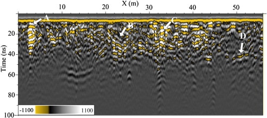
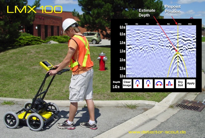
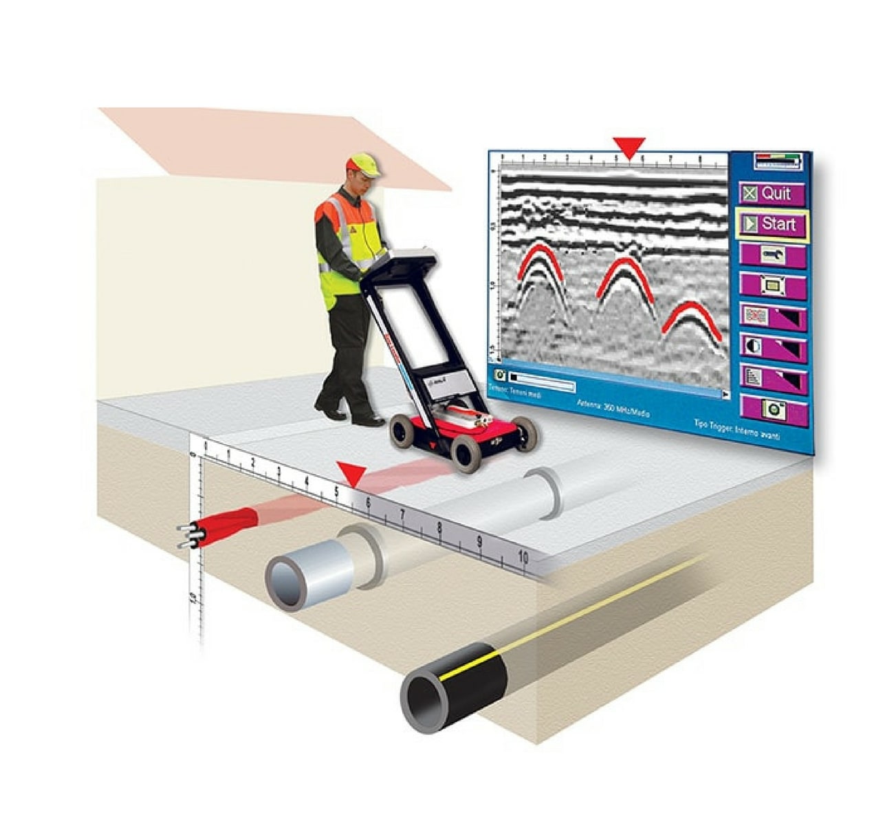
Method is based on the refraction property of electromagnetic waves on the border of two mediums with different electrical characteristics (dielectric permittivity, conductivity and magnetic permittivity). Measuring with the georadar is executed by continuously moving the antenna above the ground. Information registered on a certain location is called a time trace and are consist of signals reflected of discontinuities (layer borders, cavities, burried objects) in the ground. With individual traces, anomalies are located that are vertically beneath the point of measurement. Continuously moving the antenna, a group of traces is obtained that provides information about the area beneath the profile route.
The obtained profile with all registered traces is given in a form of a radargram, on which the X-asxis represents distance allong the profile route and the Y-axis time of wave travel, i.e. depth.

We distinguish georadars with different antennas that are used depending on the application:
– antenna with a frequency of 1500 MHz is applicable to a depth of 0,50 m and used for quality assessment of concrete or detection of reinforcement
– antenna with a frequency of 900 MHz is applicable to a depth of 1,0 m and used for detection of pipes and other burried installations on smaller depths
– antenna with a frequency of 400 MHz is applicable to a depth of 4,0 m and used for detection of installations, quality assessment of road subgrades and embankments, detection of underground tanks
– antenna with a frequency of 300 MHz is applicable to a depth of 6,0 m and used for detection of installations, geological and archeological exploration

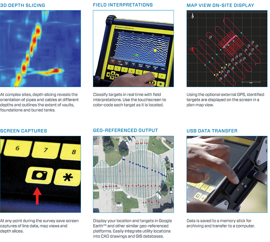
Today’s devices are small in dimensions, mounted with wheels, foldable and simple and easy to use. A GPS can be mounted on the cart so recorded point can simply be shown in apsolute coordinates for more precise and easier processing. Data (points, objects, pipes etc.) can be exported in Google Earth, CAD or any other format that is compatible with computer software that are used by civil engineers, architects and others.
If you have additional questions or have a need for said investigation feel free to contact us.

