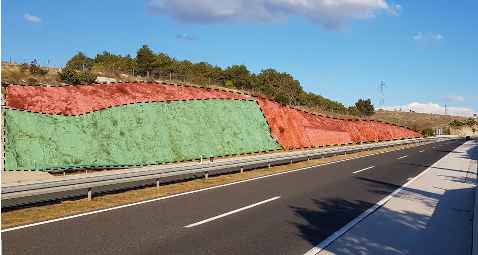
Engineering geological mapping of the slope
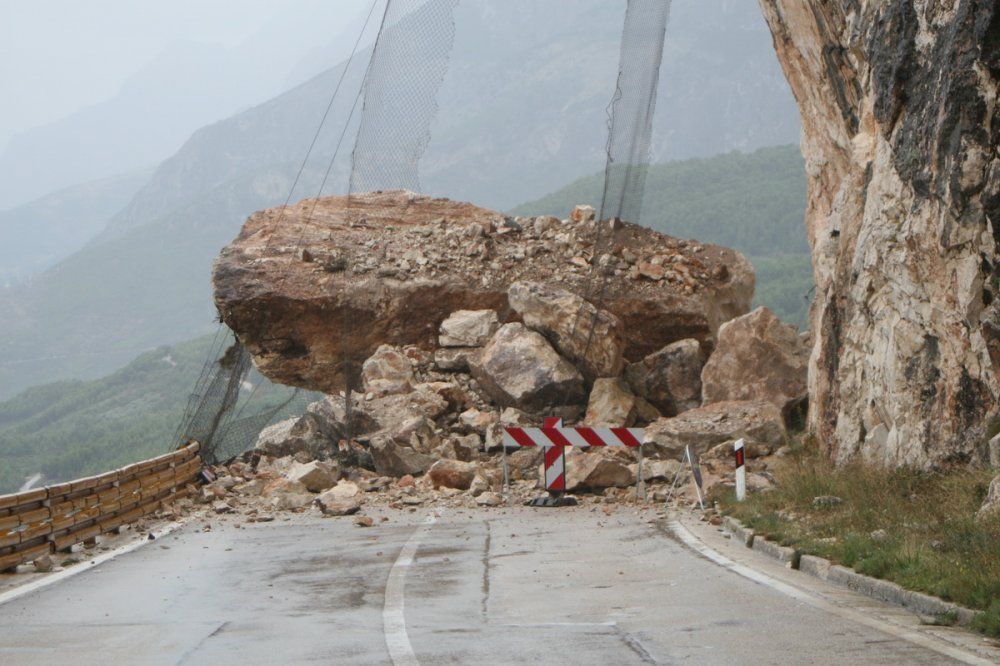
Small- and large-scale rockfalls are frequent on the roads in the Republic of Croatia, especially in mountainous areas and along the Adriatic Highway.
Rockfalls pose a great danger in these areas because of their vast diversity of lithostratigraphic soil composition, high levels of tectonic and seismic activity, complex geological characteristics, diverse relief features, adverse climatic conditions, a developed water network and significant anthropogenic impact on relief design.
Remediation and slope protection
Engineering geological mapping of the slope
The main element of every engineering geological exploration is engineering geological mapping. It is based on the principles of geological mapping and produces special types of geological maps.
Geological mapping is a process consisting of:
- Explorations of rocks or soils
- Systematic recording of gathered data
- Analysis and interpretation of gathered data
Engineering geological mapping includes the systematic recording, analysis and interpretation of data recorded on the slope itself.
Preparing for exploration
The first step is to determine the size of the coverage area. The size of
Before starting the mapping, it is necessary to prepare the support documents for the data that is to be recorded. The support documents for engineering geological mapping are topographic maps (because it is necessary to determine the spatial position for each piece of field data). Due to their vertical position, the most commonly used support documents in engineering geological mapping of the slope are developed views of the slope and photo documentation.
Data collection
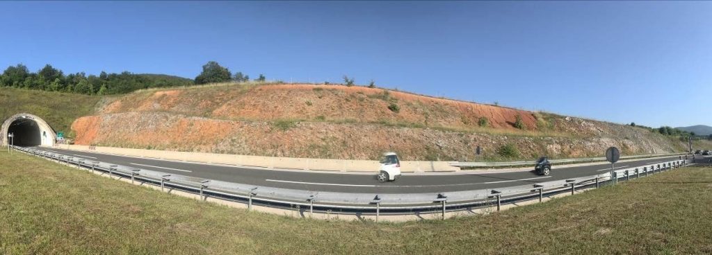
During the engineering geological mapping of the slope, data are collected on:
– Rock/soil characteristics
– Hydrogeological conditions
– Geomorphological conditions
– Geodynamic phenomena/processes
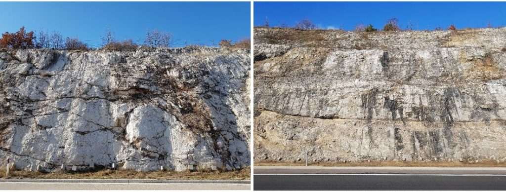
The main data group in all types of engineering geological mapping is the rock/soil features. The exploration of rock/soil features for engineering geological mapping involves the study of their features, which can be classified into the following groups:
- Lithological data, which includes rock/soil type; additional petrographic properties of rock/soil, genetic type of soil, rock/soil material texture (grain size, relative grain size, morphometric characteristics of grain)
- Rock/soil structure data, which includes material structure, mass structure,
and rock/ground mass discontinuities; - Rock/soil weathering data, which include material weathering and rock/soil mass weathering
- Data on the physical/mechanical properties of rock/soil, which include rock/soil color; index indicators of physical properties of soil material (porosity, humidity, relative density, consistency); strength of the rock/soil material.
- Data on hydrogeological, geomorphological and seismological conditions and geodynamic phenomena/processes include the spatial position of a specific occurrence and its features (geometry, size, properties, etc.)
The equipment used for engineering geological mapping includes standard geological mapping equipment (field magnifier, geological hammer and geological compass with clinometer) and handy identification equipment for determining physical-mechanical properties (Schmidt hammer,

The greatest quantity of data is obtained by visiting the field and recording.
Interpretation
Interpretation is a continuing process that begins with the preliminary stages of data collection and is carried out throughout the mapping process.
Within the process of interpretation, it is possible to distinguish two phases:
- First,
- Second, the geological structure is reinterpreted in the engineering context for the purpose of defining the engineering geological model (separation of engineering geological units with boundaries).
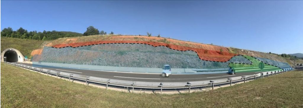
The observable rock/soil characteristics represent only the rare visible fragments of the overall geological image of the exploration area. For a complete interpretation of the geological structure of the mapped area, it is necessary to compare the locally registered occurrences with the regional geological structure. The image of a regional geological structure is derived from existing geological maps of a smaller scale. The Basic Geological Map of the Republic of Croatia (BGM is 1: 100,000) is in use, but because of a small scale, the BGM is not detailed enough to be directly applicable for an engineering geological interpretation. It cannot be used as the only source of geological data in engineering designs.
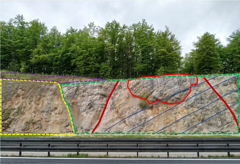
The final result of engineering geological mapping is a report complete with graphic attachments and listed data that can be used for further steps towards remediation and slope protection.
Read more: Protection of the rock slope Hreljin – Križišće, Protection of the rock slope cut 51 Lokve
