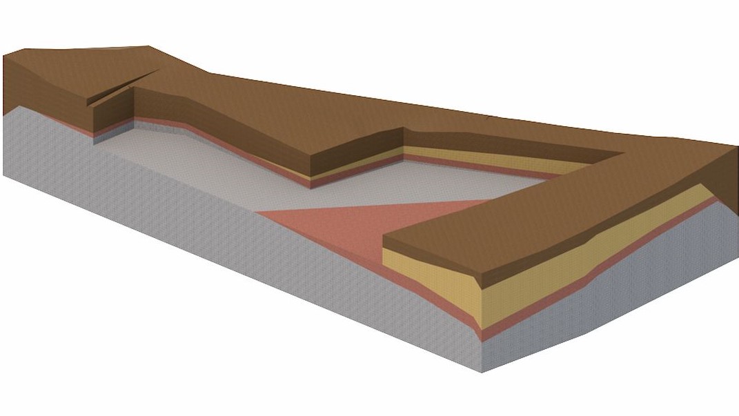
3D geological model
In order to increase the quality of project documentation through more detailed preparation, gets insight into potentially problematic situations, and other technical solutions we create 3D geological models.
What is a 3D geological model?
A 3D geological model represents a spatial view of the foundation soil structure in the observed area. It is used as a base for the creation of a geotechnical design, and provides a clearer and more detailed visualization of the geological conditions at the location.
The 3D geological model is based on the geotechnical data obtained by carrying out geotechnical exploration and investigation works, whereby exploratory boreholes, probes, geophysical tests, CPTU tests, engineering geological mapping are commonly used.
Modelling of a 3D geological model
Creating a model is the process of integrating the collected and processed data into a whole. All conducted investigations are defined by the X, Y and Z coordinates where the Z coordinates represent the top of the conducted research. Additional values of Z coordinates (depths) are determined by processing the data, and represent layers of foundation soil on the position of the investigation. After defining the depth of layers in all positions of investigation, approaches are determined to establish their position between investigation positions. Geomorphological characteristics of the area determined by geological mapping used to define the exact layer yield.
Each design defines which geological layers will be displayed in the model. In some designs, it is sufficient to create a simplified 3D model, for example, modelling only the bedrock when the foundation of the structure is directly on the rock mass.
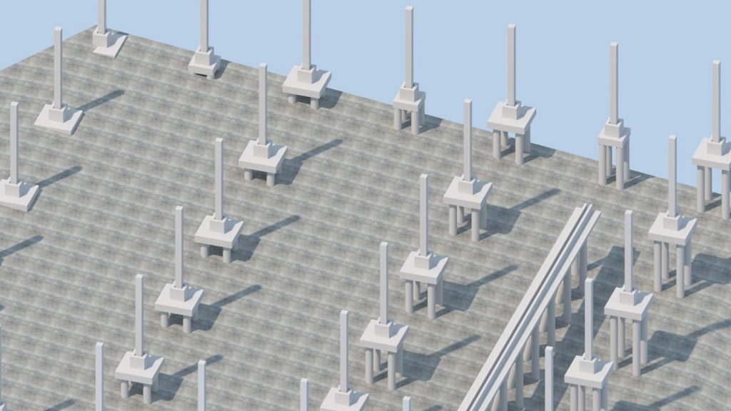
In some designs it is necessary to show all layers of foundation soil, for example, in order to execute an open pit in layers of significantly different characteristics.
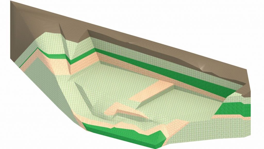
The constructed models are used as a basis for the creation of geotechnical designs, identifying the optimal technical solution and analysis implementation. In extremely complex geological structures where more geotechnical or geological units with different orientation and slope are present, the development of the initial 3D geological model greatly eases and accelerates the creation of a 2D engineering and geological profile with high accuracy without the usual interpolation, which is unavoidable in classic 2D geological modelling.
Example of the 3D geological model
A 3D geological model was created as the basis for the main design of the open pit protection and the foundation of the residential and business complex in the Belveder – Rastočine area of the City of Rijeka. The underground garage and a residential and commercial centre, and four residential skyscrapers are also part of the design. The maximum depth of the future open pit is 18.0 m.
The geotechnical exploration and investigation works consisted of exploratory drilling, engineering geological determination and core classification, laboratory sample testing and engineering geological mapping. Totally 20 exploratory boreholes, 10.0 to 30.0 m in depth and 390.0 m in length were made.
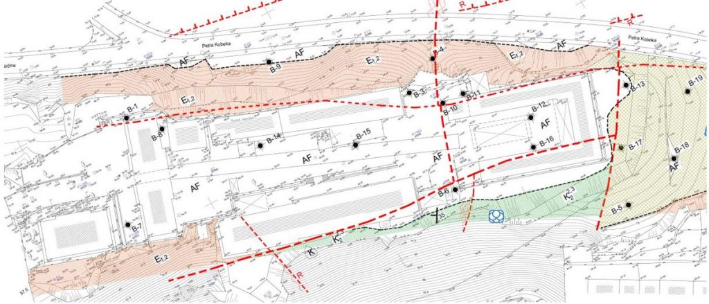
Based on the results of the exploratory drilling, it was found that the location is made of coverings and bases. The cover is a made ground, terra Rosa, diluvium and eluvium, and is located in the middle of the observed area. The base is made of flysch and limestone which lies beneath the cover. Based on the results of the exploratory drilling, a faulty contact between limestone and flysch was determined. The cross defects along which the displacement of the deposits occurred are also determined at the location.
By determining the complex geological conditions of the location, a 3D geological model was developed with the aim of clearer visualization of the geological conditions of the location.
The model which would show the coverage and the depth of the covering (for the purpose of the foundation design) was developed considering the future design and ensuring a fault zone separating limestone and flysch (for the purpose of the open pit protection design).
The basic terrain of the location based on the obtained geodetic base was created before creating the 3D geological model.
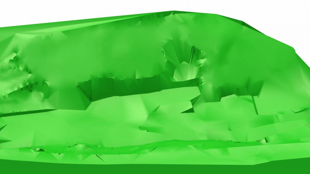
After creating the basic terrain, the positioning of the drilled boreholes on the base model was conducted and the depth of the contact of the covering and the base in the boreholes was determined.
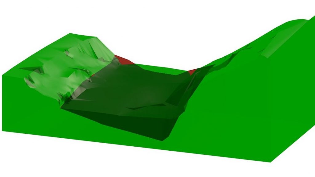
After defining the covering, the depth of the fault contacts in the boreholes was determined, and the defining parameters of the fault obtained by mapping were further defined in the model. A model with spatially providing fault at the location was created.
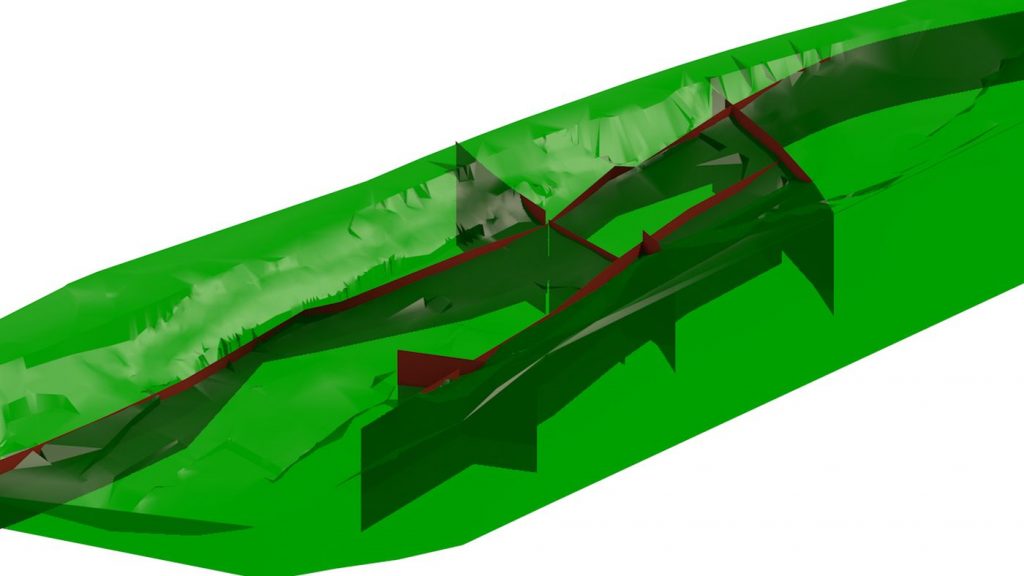
By modelling the coverings and fault zones, the spatial geological conditions of the location were obtained, enabling easier identification of potential problematic situations during the open pit protection design and the foundation of the structure.
This example shows a situation with complex geological structure where 3D modelling was necessary to show and understand the geological structure at the location. The model was created using the Nemetschek Allplan program as a BIM model, which was later used in the design of project documentation – the open pit protection design.
