Slope and rockfall protection design – Banska vrata, Rijeka
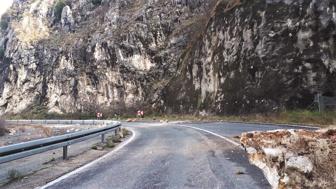
The section is located on the D3 State Road, at the 4 + 817-km stationing, past the Banska Vrata tunnel and in the direction of Orehovica. This location is characterised by steep to subvertical rock cliffs as high as 100.0 m and over on the south side of the road and the canyon of the Rječina River on its north side.
We carried out the engineering and geological mapping, slope categorisation, the geological prospecting of the wider area, the geotechnical prospecting of the location and the data processing of previous investigation for the geotechnical report and made a main and detailed rockfall and slope protection design.
Considering the significant dimensions as well as the height and inaccessibility of the greater part of the project location, the geodetic survey of the location from the air was done using a drone. Based on aerial photogrammetric images, a 3D digital terrain model in the form of point clouds was created. By using the obtained point cloud, better insight was gained into the broader picture of the entire project and into the individual condition of the parts of the slope that were difficult to access.
As part of rockfall and slope protection, works aimed at increasing slope stability and rockfall protection are planned. A total of nine protection positions with the installation of three barriers for rockfall protection are planned. The individual lengths of the planned barriers are 27.0 m, 40.0 m and 50.0 m. The lengths of the self-drilling rock bolts vary by position depending on the purpose of protection (overall stability protection of the slopes or of individual unstable blocks) and along the project area are 3.0 m, 6.0 m, 9.0 m and 12.0 m.
