Geotechnical investigation and testing – BINA ISTRA
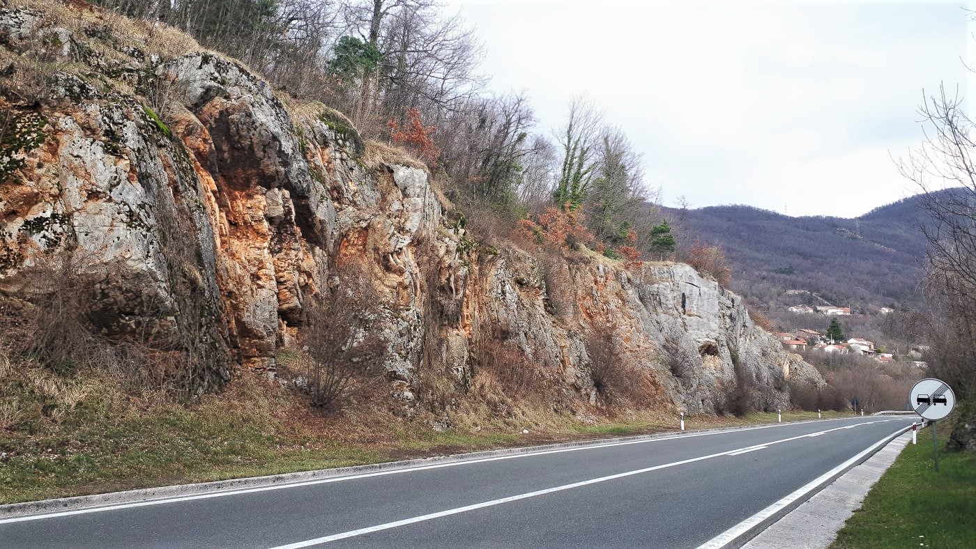
The A8 highway section is located in the Primorje-Gorski Kotar County and stretches from the Kvarner Tunnel Učka Portal to the Matulji interchange, from km 35 + 870 to km 46 + 150. The terrain is morphologically very indented and the road is partly made by cutting into the rock mass, and partly by filling on the existing terrain.
For the purpose of creating the engineering geological report, the following engineering geological investigation works were carried out:
- engineering geological mapping of the terrain;
- exploratory rotary drilling and determination of drilled cores;
- laboratory tests;
- geophysical surveys;
- geological prospecting of the wider area;
- geotechnical prospecting of the location;
- sclerometer test; and
- previous investigation data processing.
The engineering geological mapping and categorization of the slopes determined the engineering geological properties and the mechanisms of potential, previous, and present instabilities on road cuts and surface outcrops of rock mass. The gullies and sinkholes where the occurrence of diluvial-eluvial deposits of greater thickness is possible were also determined.
As part of the engineering geological mapping, geological prospecting of the wider area was conducted with reference to morphology and active geomorphological processes.